
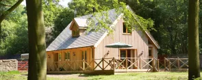
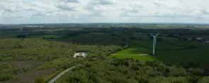


There's always somewhere new to visit in the National Forest, with an array of unique attractions to explore and discover.
Browse the National Forest Map and explore this destination and things nearby.
Added to basket

Route details

Medium
6.8 miles (11km)

Time
Allow 3 hours

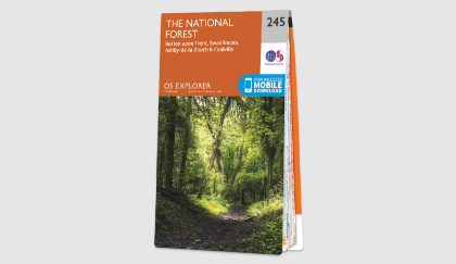
Map
OS Explorer 245 The National Forest

what3words
manliness.curtail.rebounder

Os Grid Ref
SK217210

Start
Branston Water Park, Lichfield Road, Branston, DE14 3HD

Path type
Unsurfaced paths, tracks, woodland trails and canal towpath.

Accessibility
Unsurfaced paths which can be muddy in wet weather and stiles may restrict access.
Browse the National Forest Map and explore this destination and things nearby.
Downloads

Monks and moorings
pdf 7.15 Mb
Summary
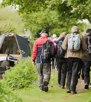
By following this 11km (6.8 mile) walk, you will encounter the past and future of Burton and the surrounding area.
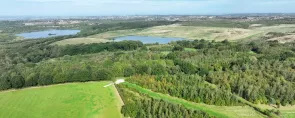
You will witness how the Trent and Mersey Canal played a part in the town's industrial history and how old gravel workings have been transformed into a nature reserve, now bustling with birdlife.
You will pass the historic Sinai House, enjoy wonderful views from the Needwood scarp, pass through ancient woodlands and complete the links with the future by visiting new woodlands planted as part of the developing National Forest.
Walk highlights
Once an open cast gravel pit, Branston Water Park is now an oasis for wildlife and home to many species of plants, birds, and insects, both common and nationally rare. This a great spot for a picnic en route and a great place to catch a glimpse of the grebes and other diving birds fishing on the lake.
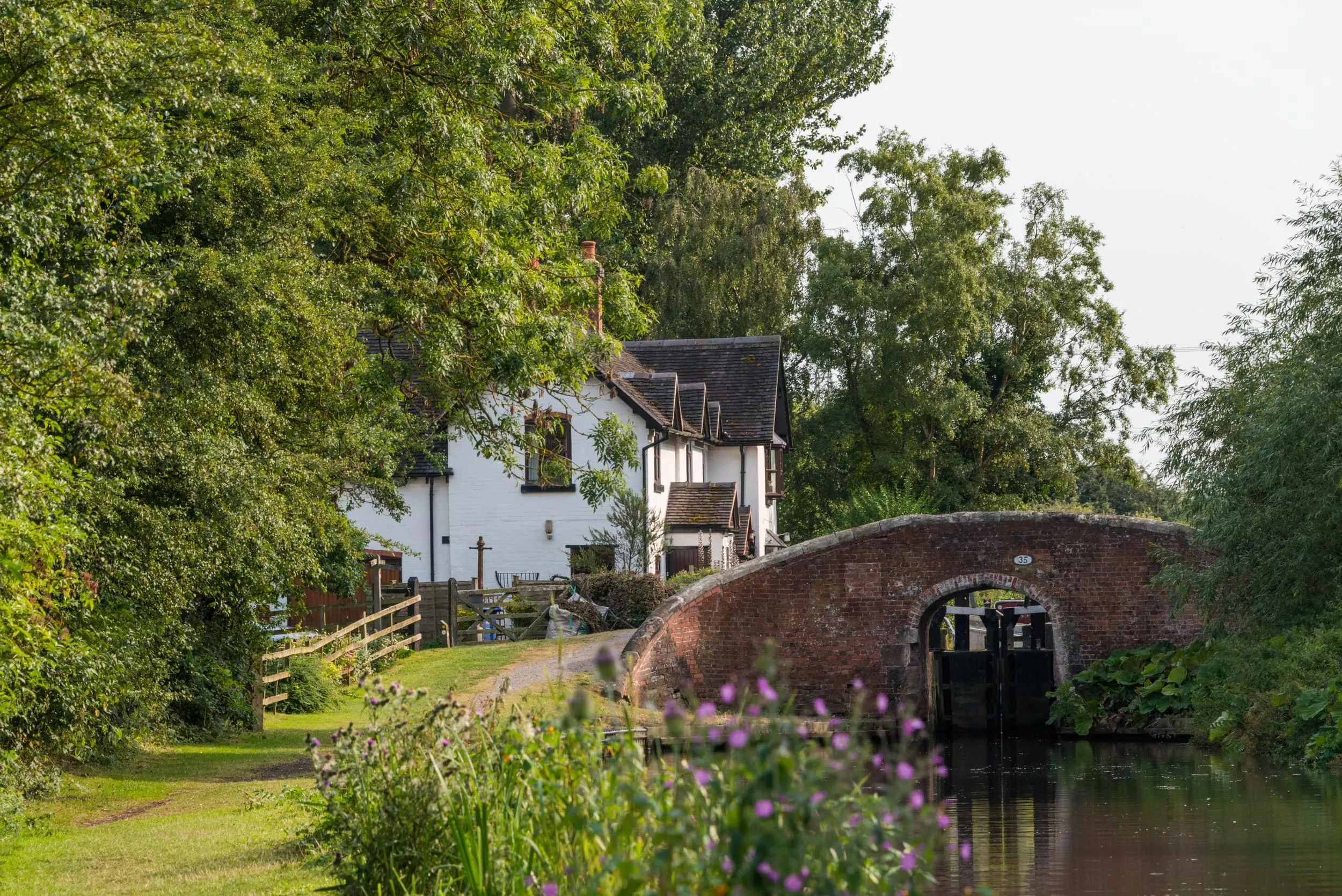
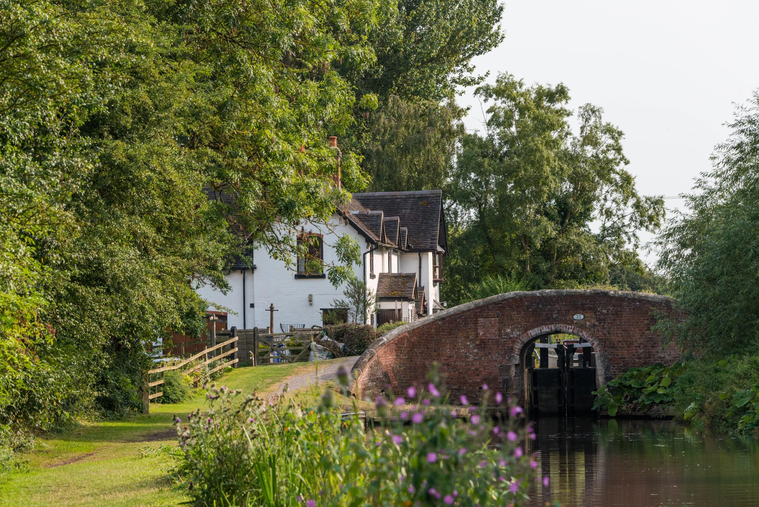
Here you will reach one of the 76 locks on the 93-mile Trent and Mersey Canal. Designed by James Brindley and completed in 1777 to carry industrial goods, the canal now offers pleasant boating, angling, walking and is an attractive and tranquil spot where people and wildlife coexist happily.
The once site of a bloody battle between the Angles and Danes, is now a spot to enjoy stunning views over the countryside. The mature woodlands are attractive to visit in all seasons, especially during spring when you will be treated to the sight of primroses, bluebells, and violets which flood the forest floor.
Sinai Park House and woodlands are best described as a hidden gem nestled on a hilltop overlooking the surrounding Trent Valley. The Grade II listed building dates back to the 1300s and is situated within a 13th-century moat. The surrounding woodland is planted in two parts - Shobnall Wood to the north and The Rough to the South. Between the two, an 18th Century-style hunting park landscape has been recreated using individual crated trees and a historically accurate orchard has similarly been recreated using traditional varieties, under Countryside Stewardship.
Facilities

There's always somewhere new to visit in the National Forest, with an array of unique attractions to explore and discover.

Help us to maintain our trails for others to enjoy, by reporting any issues you come across.